Mapping it to manage it: Saving native habitats with smartphones
11 May 2023
Invasive weeds devastate crops, destroy pristine natural ecosystems and have cost the economy a staggering $200 billion since the 1960s. Now, the use of smartphones to better detect and eradicate weeds with tools like specialised herbicides is changing the conservation game.
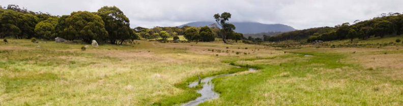
Over the past 10 years, ACT Parks and Conservation Services has trailblazed a new way to collect data through GPS precision mapping. With novel smartphone apps, land managers are playing a game of Pokémon GO with weeds across 7,340 hectares of native land and parks – and they’re winning.
A decade of precision mapping and data sharing shows that targeted land management strategies like spot spraying with specialised herbicides has been crucial to conservation efforts in the ACT.
Many thousands of sites once dominated by blackberry, serrated tussock, nodding thistle and Mexican feather grass have been restored back to their former glory. These integrated pest management strategies have not only been crucial to land restoration, but also to mitigating spread across remote areas and preventing many high-risk new and emerging invasive plants from establishing despite recent La Niña events.
This case study is one that all governments could benefit from. The plant science industry continues to significantly invest in research and development of new innovative products that support Australia’s environmental land managers in their conservation efforts. Now all Australians can help map it to manage it by downloading the Canberra Nature Map or iNaturalist.
Read more of the Winter 2023 edition of CropLinks here: CropLife Australia | CropLinks Winter 2023